To say it was hot last week would be a cliched understatement. It would be more accurate to say it was torrid, or sweltering, or steamy, but even then the scorching days and muggy nights would be only weakly described. For those that don't embrace the sunny season, it was a time to huddle around air conditioners and clutch iced beverages extra tight to try to cool fingers and palms. For others, including ourselves, it was the best week ever.

There were a few cloudy days last week, but most of the time, the sun was out tanning the SPF 50 crowd and incinerating everyone else.
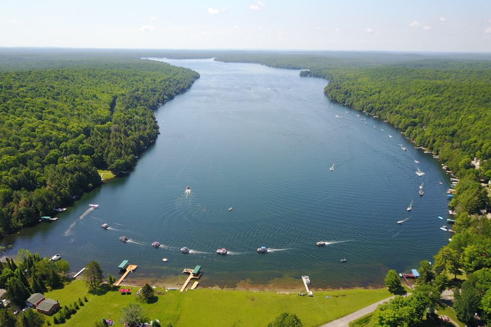
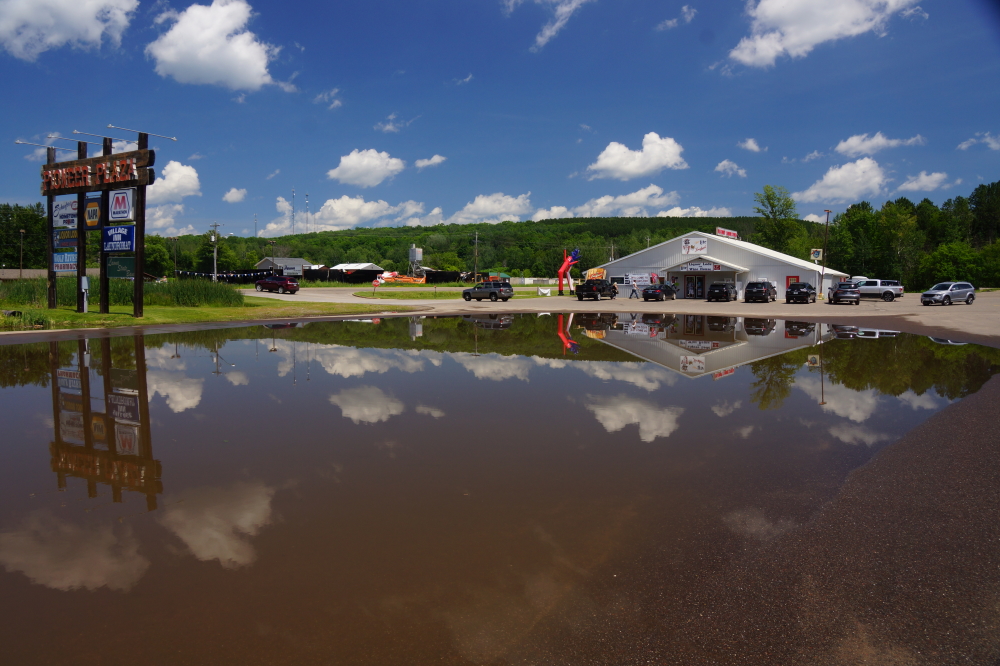
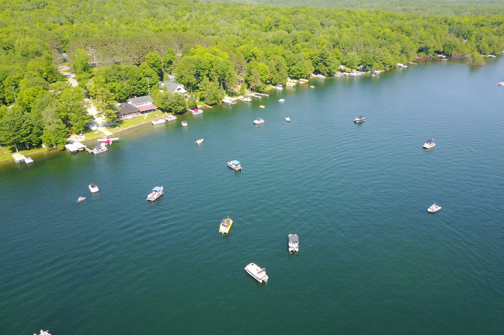
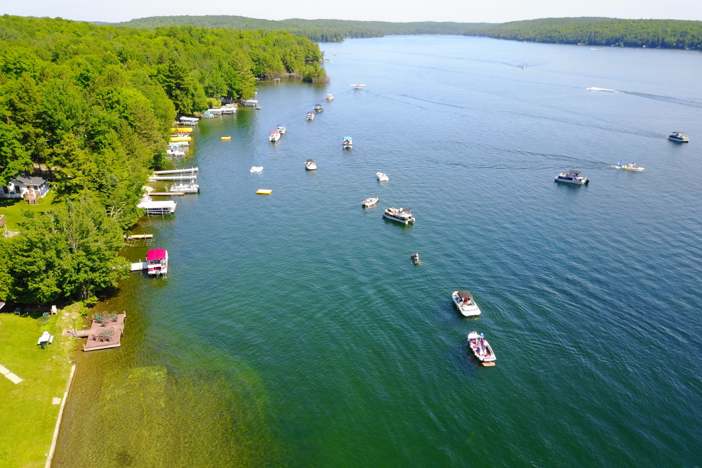
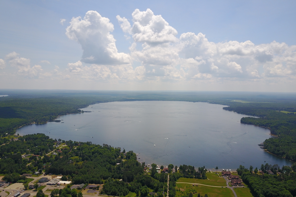
The lake water temperature hit 80°F late last week before pulling back a bit. A few years back, we recorded a temperature of 84°F in late July. If the heat holds, we could beat that this year. If you dive down past 10 feet or so, you hit a layer of lake that's not so warm. Think 70°F. If you go down past 25 or 30 feet, you hit the thermocline. Think 50°F (brr). The lake level fell a half an inch during June, but is still just 2 inches under the record high recorded on May 1st. Historically, the level should decline around 6 inches until ice-in. If it does, that'll take some of the pressure off the shoreline. If it doesn't, when Lakes Lucerne, Metonga, and Schaefer merge, next year's boat parade will be huge.
-Nemo's not getting out until September.